Statistical units vector
Dataset
Description
This dataset contains the statistical Units of the Netherlands according to the INSPIRE datamodel for Statistical Units version 4.0. It contains the following SU-types: buurt, wijk, gemeente, provincie, landsdeel, nuts1, nuts2, nuts3, coropgebied and ggdregio. You can filter them out with the StatisticalTessellation attribute, as long as the SU-vector datamodel has no SU-Type attribute.
Status
- Disclosure level
- Public
- Available since
- Updated
Features
- High value
- Basic register
Ownership
- Source catalog
- Dexes marktplaats https://open.dexspace.nl
Contact
- Name
- Statistics Netherlands
- infoservice@cbs.nl
Metadata
- Identifier
- https://nationaalgeoregister.nl/geonetwork?uuid=10d1153e-778f-4995-9b6c-7c69b196cccb
- Metadata language
- Dutch
Distributions (3)
Su.vectorstatisticalunit
Statistical Units Vector
- License
- CC-BY (4.0) http://creativecommons.org/licenses/by/4.0/deed.nl CC-BY (4.0) http://creativecommons.org/licenses/by/4.0/deed.nl
- Format
- OGC:WMS
- No policies are applicable for this dataset Ask for more information or send an access request
Policy
Statisticalunitsvector:statisticalunitsvector
Statistical Units Vector
- License
- CC-BY (4.0) http://creativecommons.org/licenses/by/4.0/deed.nl CC-BY (4.0) http://creativecommons.org/licenses/by/4.0/deed.nl
- Format
- OGC:WFS
- No policies are applicable for this dataset Ask for more information or send an access request
Policy
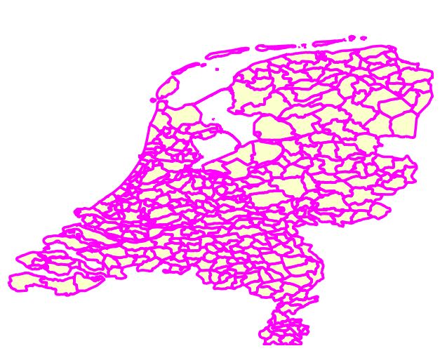
Gegenereerde grafische weergave
Dit is een grafische representatie van de dataset die via het NationaalGeoregister.nl aangeboden wordt.
Het is mogelijk dat deze grafische representatie geen weerspiegeling van de data is, maar dient als ondersteunende afbeelding. Indien de dataset via een OGC:WMS service aangeboden wordt, is het mogelijk om zelf een grafische weergave van de dataset te genereren.
- License
- CC-BY (4.0) http://creativecommons.org/licenses/by/4.0/deed.nl CC-BY (4.0) http://creativecommons.org/licenses/by/4.0/deed.nl
- Format
- JPEG
- No policies are applicable for this dataset Ask for more information or send an access request